
LION CITY HUB • NATIONAL EDUCATION & HERITAGE
Sentosa: From Fortified Island to Resort
Uncover the communities, military sites and reinvention behind Singapore’s best-known leisure island.
An Island Reimagined
Sentosa was formerly known as Pulau Blakang Mati and supported diverse local communities before becoming a major British military base. Forts and batteries were built from the late 19th century to defend the approaches to Keppel Harbour. After the British withdrawal, the island was renamed Sentosa and developed for tourism from the 1970s.
Beaches, the cable car and new attractions changed its public image, while Fort Siloso, former barracks and other conserved structures preserve evidence of its maritime and military history. Fort Siloso adds another layer to the story. Singapore’s preserved coastal fort presents military structures, wartime stories and the island’s strategic role.
Former Barracks shows how the area changed while retaining links to its past. Conserved military buildings have been adapted for new uses while retaining traces of life in the former garrison. This context helps readers connect the place with Singapore's wider development.
Did You Know?
The island was known as Pulau Blakang Mati before the name Sentosa—meaning peace and tranquillity—was adopted, an important detail in the local story.
Fort Siloso was constructed from 1878 to defend the western entrance to Keppel Harbour and nearby sea routes, and a visible link with its past.
What Makes Sentosa Island Special

Fort Siloso
Singapore’s preserved coastal fort presents military structures, wartime stories and the island’s strategic role. It helps visitors connect Fort Siloso with the wider history of Sentosa Island.
Singapore Cable Car
Opened in 1974, the cable car created a memorable aerial connection between Mount Faber and the developing resort island. It also shows why the site remains meaningful to local communities today.
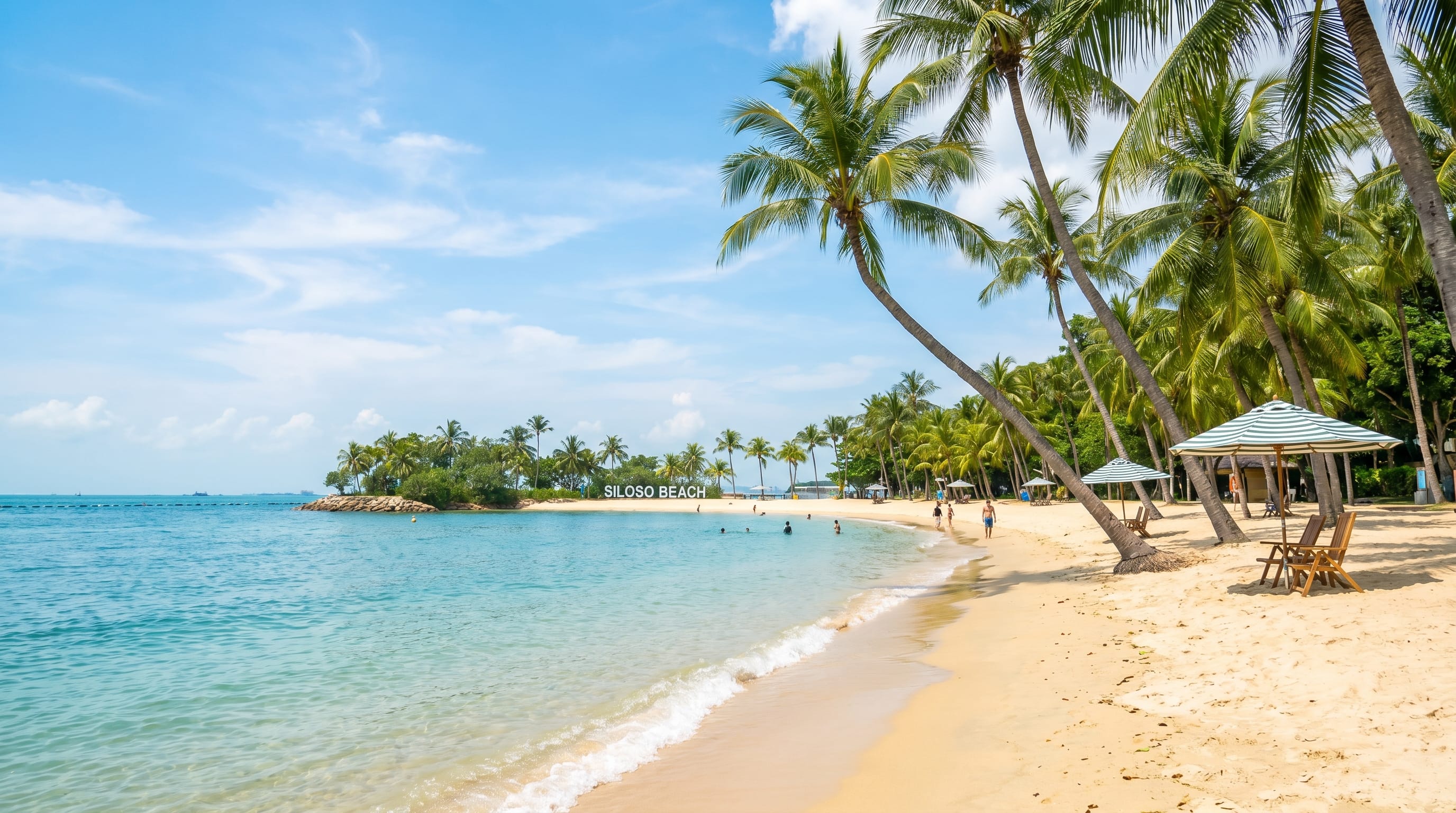
Sentosa Beaches
Siloso, Palawan and Tanjong beaches represent Sentosa’s modern leisure identity, created through extensive coastal development after the former military island became a resort. It still matters.

Fort Serapong
Largely hidden within vegetation, Fort Serapong formed part of Sentosa’s coastal defences. Its surviving structures reveal a military landscape beyond better-known Fort Siloso. It survives today.
Trail Routes
Route 1: Faith & Multi-Religious Harmony
-
Duration: 1.5 hours on foot | Distance: 1.2 km
-
Focus: Trace South Bridge Road and Telok Ayer Street to observe Singapore’s religious co-existence, where Buddhist temples, Singapore's oldest Hindu temple, a Chulia mosque, and a Chinese Methodist church stand side by side.
Route 2: Early Immigrants & Street Life
-
Duration: 1 hour on foot | Distance: 900 m
-
Focus: Walk down Pagoda Street, Smith Street, and Sago Lane to discover the history of rickshaw pullers, Samsui women, high-density tenement living, and heritage street murals.
Route 3: Clans, Trade & Pioneer Leaders
-
Duration: 1.5 hours on foot | Distance: 1.8 km
-
Focus: Explore Bukit Pasoh Road, Club Street, and Ann Siang Hill—the historic strongholds of dialect clan associations, elite pioneer clubs, and traditional shophouse architecture.
