
LION CITY HUB • NATIONAL EDUCATION & HERITAGE
Clementi Town Story
See how plantations, military roads and planned housing shaped a modern western neighbourhood.
Clementi’s Rural Roots and Modern Connections
Before Clementi became a new town, the area contained villages, plantations, farms and military facilities. Its name is generally linked to Clementi Road, although the exact person commemorated has been debated. HDB began developing Clementi New Town in the 1970s, organising homes around neighbourhood facilities, schools and transport links.
Today, the town sits close to major education and research institutions while retaining reminders of earlier landscapes, including the railway corridor and the old steel railway bridge near Sunset Way.
Clementi Town Centre brings transport, shops and community services together, while Clementi Woods Park and the Ulu Pandan Park Connector offer green routes through the town. Together, they show how planned housing grew alongside pockets of nature.


Did You Know?
Clementi New Town was developed by HDB from the 1970s as Singapore expanded planned housing in the west.
The old railway bridge near Sunset Way is a familiar reminder of the former rail route through Clementi.
What Makes Clementi Special
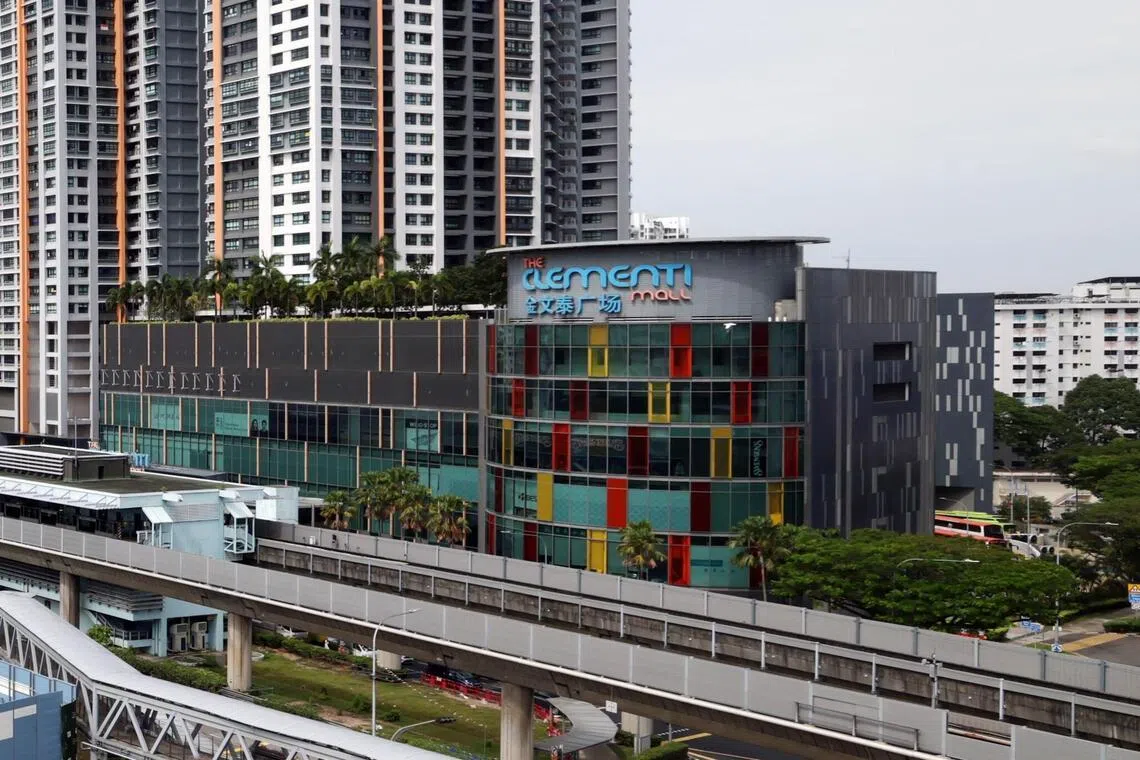
Clementi Town Centre
The town centre brings together transport, shops, housing and community facilities, reflecting HDB’s planning of Clementi as a connected and self-contained new town.

Clementi Woods Park
This wooded hillside park provides a green retreat near major educational institutions and shows the quieter natural character that still survives within modern Clementi.

Ulu Pandan Park Connector
The canal-side route provides a green link for walking and cycling through Clementi and neighbouring districts.
Old Railway Bridge
The steel bridge near Sunset Way survives along the former railway route and remains one of Clementi’s best-known landmarks.
Trail Routes
Route 1 Clementi
Explore how Clementi’s housing, everyday services and green corridors connect with an older transport landscape.
Duration: 135–165 minutes · Distance: 4.1–4.4 km · Stops: 5
1. Clementi Town Centre
Clementi developed as an HDB new town, with major construction taking place in the second half of the 1970s. Its town centre brings together transport, shopping and public services, reflecting how planned housing towns support the everyday needs of their communities.
2. Clementi 448 Market & Food Centre
Clementi 448 Market & Food Centre connects residents through daily shopping, meals and informal gatherings. Its smaller stalls and shared seating offer a contrast with nearby malls, showing how different forms of commerce coexist within a planned public-housing neighbourhood.
3. Ulu Pandan Park Connector at Clementi
The Ulu Pandan Park Connector follows the waterway through western Singapore’s neighbourhoods. Walking and cycling paths bring recreation into a landscape shaped by housing and infrastructure, connecting the riverbank with the everyday experience of the surrounding town.
4. Former Jurong Railway Bridge
The disused railway bridge recalls a less familiar chapter of Clementi’s transport history. Viewed from a permitted public path, it shows how infrastructure can remain after its original service has ended, contrasting earlier railway movement with today’s recreational network.
5. Faber Heights Park
Faber Heights Park sits beside the Ulu Pandan Park Connector and surrounding residential streets. Its quieter setting provides a contrast with Clementi’s busy town centre, illustrating how green spaces extend neighbourhood life through recreation, relaxation and connections with the waterway.
